Locating Property Lines and Corner Markers
Online resources
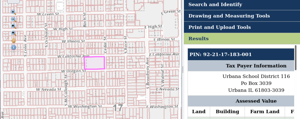
The city of Champaign has a webpage to help you find your property lines that has a link to a Champaign County mapping tool you can use to locate and view your property boundaries.
WUNA resident Kate Hunter compiled the following information in June 2006 about locating property lines and corner markers.
Self-survey methods
You can view plat maps at the County offices and get a photocopy of your area. To determine the possible locations of your front property markers, look on the plat map to see what the public right of way measurement is on your street. Measure from curb to curb, find the midpoint of the street and mark that. Divide the right-of-way figure on the plat map by two and measure from the midpoint of the street up into your property. This is where you should look for markers. They can be up to about 6” from the edge of the public sidewalk in my experience. Once you establish the front marker you can use this to measure to the back property boundary using the lot measurements from the plat map. Property lines in our older areas often coincide with walls of long-existing garages, with utility poles, with old fences and fence posts.
My calculations put the edge of my property right inside the city sidewalk, on our side, but I found the marker about 4″ off that. In the back I realized that the two properties on California at my Northeast corner had old wire fences with 3″ diameter wooden corner posts. I started digging around that post and found a marker there also. You can use a metal detector to try to find your markers, but when we tried that we had no luck, so we initially assumed we didn’t have any markers. It is possible not to have markers – they may have been moved or removed entirely at some time.
There are a number of marker types, depending on when the area was platted out and also on any surveys done since that. I found three different types here – a hollow iron pipe about 1” in diameter (from a 1967 surveyor), a flat thick right-angle stake about 1.5 inches on each side, and a pinched off metal stake about 1 ¼” in diameter.
There are a number of marker types, depending on when the area was platted out and also on any surveys done since that. I found three different types here – a hollow iron pipe about 1” in diameter (from a 1967 surveyor), a flat thick right-angle stake about 1.5 inches on each side, and a pinched off metal stake about 1 ¼” in diameter.
Surveying and Surveyors
There is no repository for information about what properties/areas have had modern surveys. If you feel you need a survey, contact the local surveying businesses and ask them to check their records to see if they have done any work along your street. This can save you a lot – we were given estimates ranging from about $400 (if they could find nearby recently marked points) to $2000 (if they had to start from much further away from our house). It would be nice if there were some kind of record which could be consulted so that a property owner could determine if a recent survey has been done, and who did that work.
As it turned out, we were told by two surveyors that in the case of the very old parts of Urbana, there is potential for an “uncertain” outcome after the surveying is done. Often in this case they will mark the general area of your corners, but will not guarantee their work (as in a court case). This is due to the methods used in the original platting, and probably also the lack of good standards, and the technologies of the day [per Township Assessor’s Office]. You would still pay the surveyor’s fee, so you would have gained nothing in doing this. After several frustrating conversations with various surveyors, I then talked to one of the old-timers in the business and was told that if you are on good terms with your neighbor, you would just as well do some measuring, agree on your common boundary, and mark this in some way – most likely 2’ sections of ¾” pipe. You can then file this agreement with the County (see below).
Instructions for Filing a Deed with the County
If you do not find your markers, you should try to approach your neighbor(s) to see if they would be willing to use the alternative method mentioned above. Talk to folks close to you, especially any who have owned their property for a long time or who have made improvements which might have involved a survey. If you are able to use markers found at nearby properties, you can measure across to your own corners, using the information for each lot found on the plat map. Once you and the adjacent neighbor(s) have agreed on and marked your corners, this information can be filed with the County Clerk’s Office. You will need to have a lawyer draw up the deed has the legal descriptions, parcel ID numbers, addresses and names of all the owners, in addition to information about how the corners were marked. The deed will need to be notarized with all named parties present (so perhaps best to have separate agreements with neighbors on each side) prior to filing with the County. You can have this done at the lawyers office, at the library or at the County offices. For more information about filing fees go to the Champaign County Clerk’s web site: http://champaigncountyrecorder.com/recording-fees/